Truckee River California
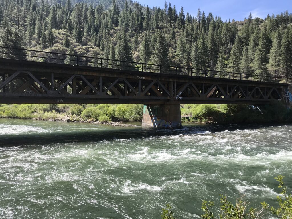
The Truckee River on the California side is a beautiful and wild river as it descends from Lake Tahoe towards the Nevada state line. Along the way, It passes through the town of Truckee, California, and Floriston, California. We mainly focus on the stretch of the river east of the San Francisco Fly Casters Club property all the way down to the Nevada state line. Some of the river’s most remote stretches on the California side can be found in this section we call The Canyon. Sizable and wild Brown and Rainbow Trout as well as Mountian Whitefish can be found throughout this section of the Truckee River.
The San Francisco Fly Casters Club owns a portion of streamside real estate on the Truckee River that runs just east of the Glenshire Road Bridge. It is illegal to walk and wade this section of the river however, it can be accessed and fished by boat. It is illegal to guide this stretch of the Truckee River, we do not guide here. They stock Rainbow Trout in this section and you’ll see anglers floating through during the summer when the flows are right.
Just east of the San Francisco Fly Casters Club is an area of the river we call “The School Yard”. This area is accessed off the westbound side of Interstate 80 where there is a large dirt pull-off. Some of those stocked fish do make it down into this section of the river to add to the wild trout population. This area of the Truckee River can be a fun and easily accessible area to fish. Prosser Creek joins the Truckee River here and the flows increase. We only walk and wade when guiding this area. Floating is off the table here as most of the float would be through private property.
The river crosses under the freeway once again and the following section of the Truckee is called the “Horseshoe Bend”. This area is one of our favorites, with ease of access just off Interstate 80 eastbound. The bend fishes well and has a variety of water types. The upper part of the bend has had some stream restoration work done on it and has a few man-made structures in the river. We only walk and wade this stretch of the river while guiding.
Boca Reservoir empties into the Truckee a little ways below the bend and the flow increases furthermore. This is the Hirschdale area with spots like “ The Church” and “End of the Road” This section of the river can be fun and productive. In the past the “End of the road” spot had great accessibility but in recent years a not-so-popular landowner decided to block access to all traffic. Being that in the state of California the river is considered public domain, one may still access this section but they have to stay within the high water mark at all times or float through on a boat. Starting at the Boca confluence and heading downstream to Floriston, California is where the white water rafters are usually running their trips during the summer months. It is possible to float and fish this section of the river but it’s a pretty long float with a class 4 rapid at the end of the route.
Once the river leaves the private property below the Hirschdale area, the Canyon section begins. The Canyon runs from here all the way down to the Nevada state line. There are many pull-offs on Interstate 80 along the way that gives access to the river. Accessibility can be challenging in some areas whereas others are more easily accessed. The Floriston and Farad exits are the only two established off-ramps in this section of the river and good fishing can be found off both.
We do float this section of the river when the water levels allow. We typically put in near Floriston, California, and take out off one of the dirt pulls out east of the Farad exit. This float only runs about 3 miles so it can go really fast especially if the flows are above 1000cfs. We tend to stop and fish quite a bit when floating in this section.
The California side of the Truckee River can be a beautiful and rugged place to fish. With some of the most remote sections of the river on the California side, it offers an angler the ability to escape some of the hustle and bustle found in other sections. If one is willing to hike a little way there’s a good chance you’ll be on your own throughout the day.